
Maui: Road to Hana and Haleakalā
A 2012 Hawaiian road trip — 600 curves, a crater at 10,000 feet, and the unhurried island that outlasts its own reputation
I was in Maui in October 2012, a few days before Halloween, when the tourists thin slightly and the island begins to breathe again. I'd flown in from the mainland and arrived with the standard itinerary — Road to Hana, Haleakalā, the West Maui coast — and the standard discovery that Maui makes you slow down regardless of your plans.
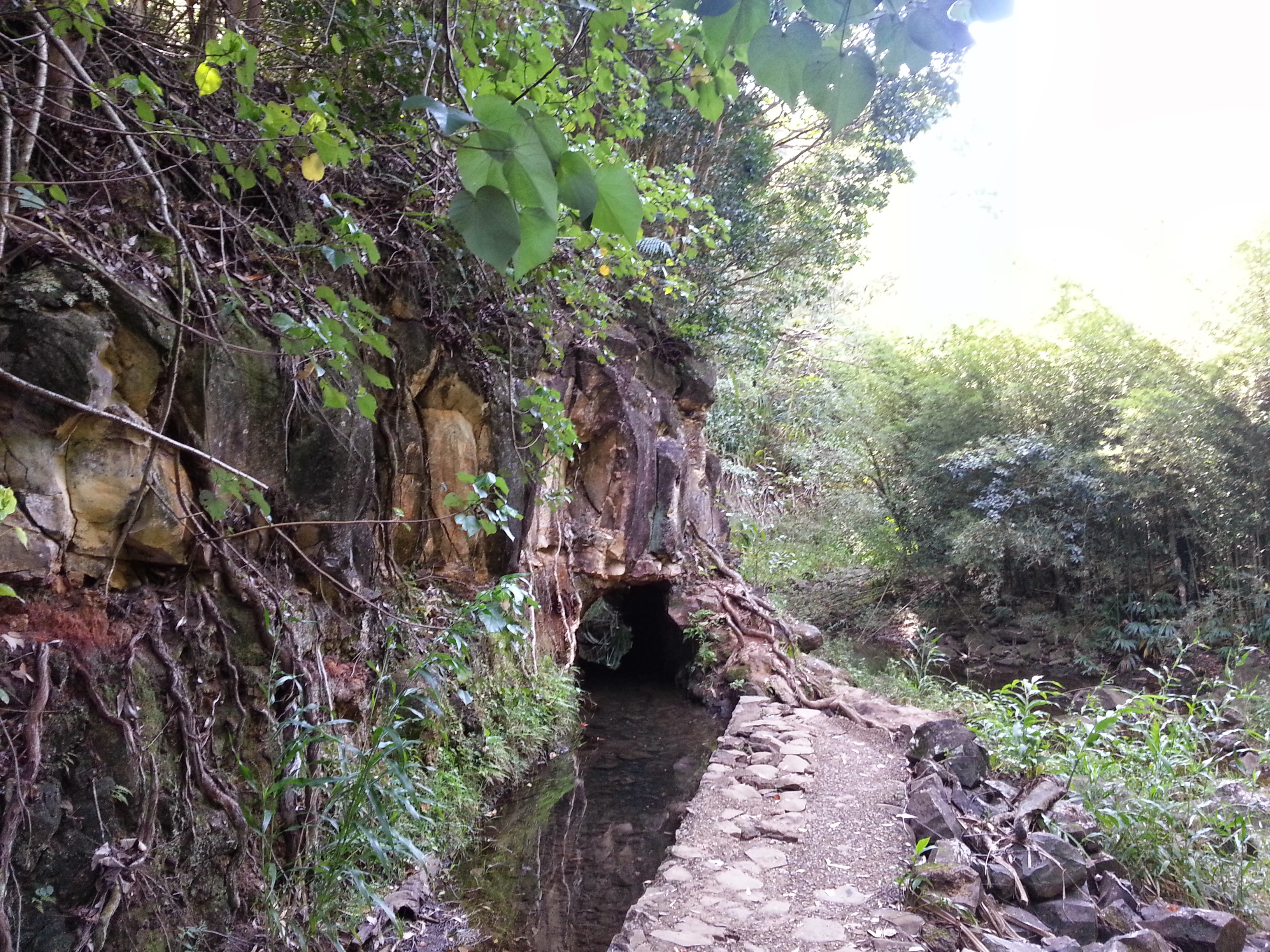
The Road to Hana begins near Kahului and follows the northeast coast of the island through increasingly dense rainforest. The road is narrow — two lanes that periodically become one — and the curves are continuous. Every few miles there is a waterfall, a bamboo grove, a black-sand beach accessible by short trail. The correct approach is to leave early, stop often, and not treat Hana as the destination.
Hana and Beyond
Hana itself is a small town at the end of the road, quiet and slightly anticlimactic after the journey. The Seven Sacred Pools at 'Ohe'o Gulch — a series of tiered freshwater pools dropping to the sea in Haleakalā National Park, ten miles past Hana — are the actual payoff. Swimming in the pools with the Pacific visible below is one of those experiences that justifies the long drive without reservation.
Haleakalā at Dawn
The Haleakalā crater sunrise requires getting up before 3am to make the drive to the summit (10,023 feet) in time. It requires a reservation now — the park limits summit access at dawn, correctly. What you get for the effort: the sun rising above a sea of clouds below you, the crater rim illuminated in pink and orange, the cold air (bring a jacket — it is genuinely cold at the summit regardless of season), and a view that recalibrates your understanding of what a volcanic landscape looks like from inside it.
The drive down, with the crater rim in your mirrors and the island spreading below you to the ocean in every direction, is its own reward. Maui from altitude looks exactly like what it is: a volcanic island in the middle of the Pacific, improbably green, surrounded by water.
Maui


